SkySims Drone Simulator

Technology Introduction:
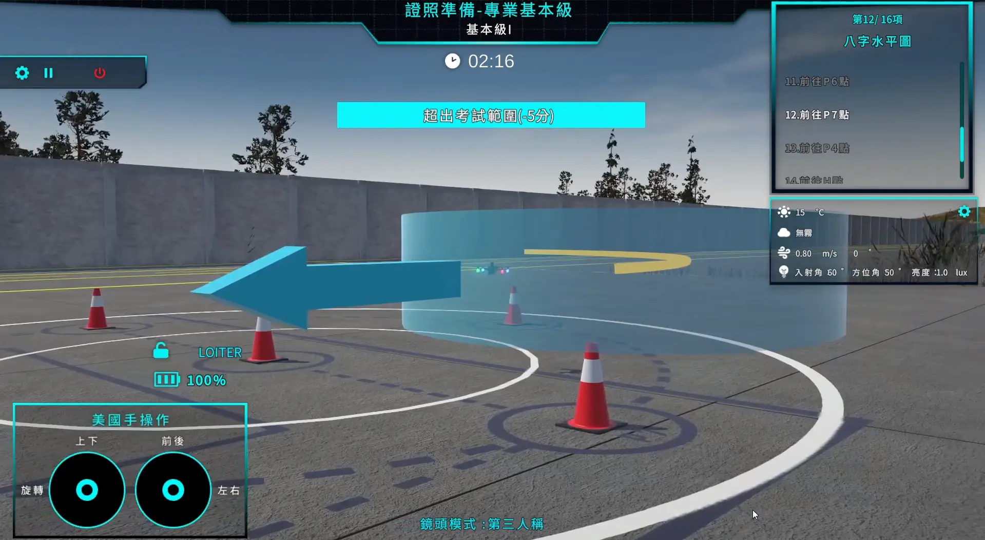
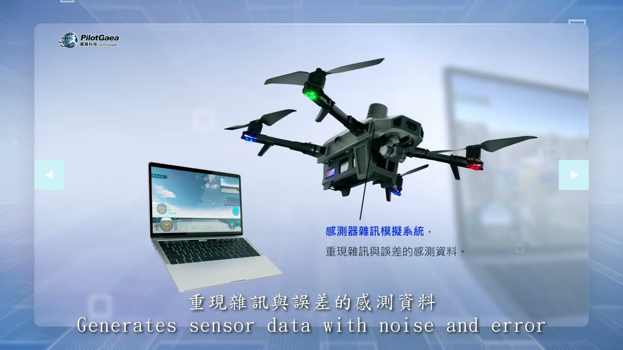
SkySims is a Digital Twin platform combining high-fidelity physics and 3D GIS for drone training and virtual R&D. Supporting SITL/HITL simulations, it verifies aerodynamics pre-manufacturing. This cuts time-to-market by 40% and prototype costs by 60%, optimizing flight parameters for efficient end-to-end operations.
Industrial Applications:
Leveraging Digital Twin and high-fidelity physics, this system builds custom GIS-based virtual environments for high-risk drone operations. Pilots train with real controllers under simulated extreme conditions, while AI analyzes flight metrics for personalized training and tactical planning. Bypassing physical flight constraints, this solution boosts mission readiness by 60% for professional certification and government drills.
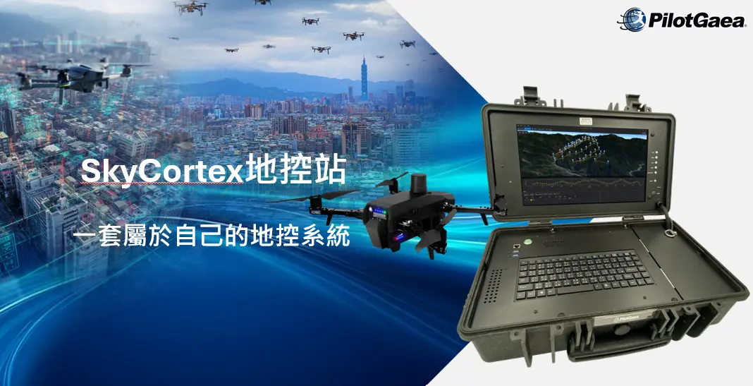
PilotGaea Technologies CO.,LTD
Founded in 2001 and headquartered in Kaohsiung, PilotGaea Technologies Co., Ltd. is a leading pioneer in spatial and geographic information software development in Taiwan. In its early years, the company focused on spatial geometric algorithms and 2D/3D computer graphics. Over more than two decades of development, PilotGaea has leveraged its fully independent, self-developed core algorithms to win numerous accolades, including the "Golden Map Award" from the Taiwan Geographic Information Society. In recent years, the company has successfully transformed and expanded its business scope to encompass AI image recognition, drone hardware manufacturing, and digital twin technology, creating a cross-disciplinary smart ecosystem.
Contact Information
Name:Chen, Hsien-Jen
Tel:0935-519-029
Address:6F., No. 262, Wenxin Rd., Gushan Dist., Kaohsiung City 804615, Taiwan (R.O.C.)