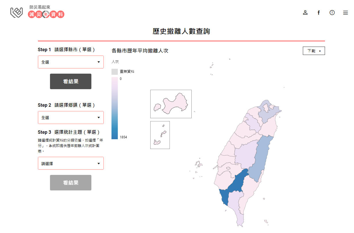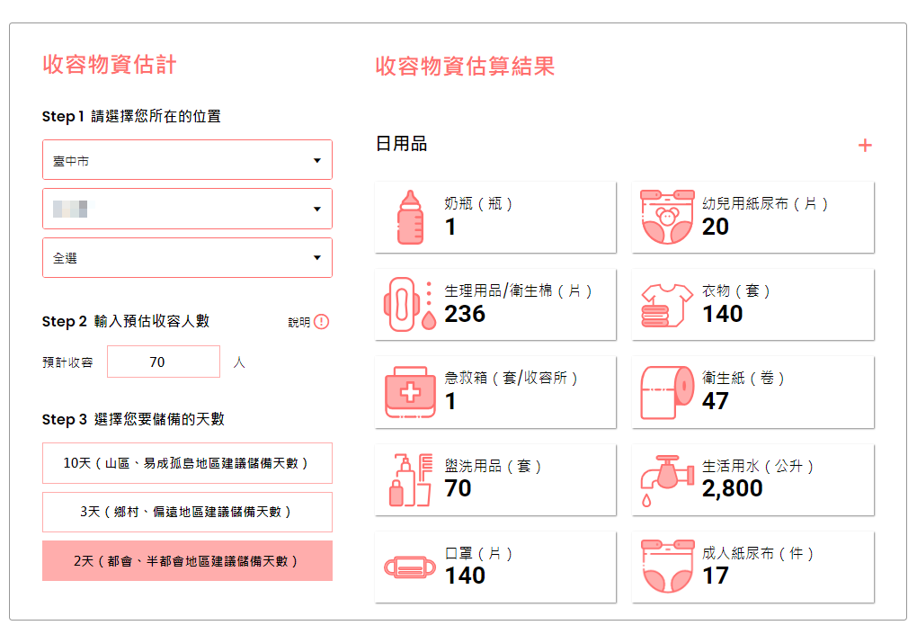


This system supports local governments in disaster planning by integrating twelve types of statistical data. It is used for querying historical events, estimating evacuated and sheltered people, calculating required shelter space, and assessing supplies in need based on age and regional characteristics. Additionally, the system allows users to search for shelter information and view results through map displays and downloadable data.
As the technology advisory staff to the Central Disasters Prevention and Protection Commission, Executive Yuan, NCDR coordinates and collaborates with government sectors for planning, organizing and promoting technology innovation, providing a platform of information service and technology integration, and designing the policies of disaster prevention. In accordance with the Act for the Establishment of the NCDR, NCDR’s primary missions are: ·Promote and conduct activities related to applied research and development on disaster management. ·Facilitate scientific knowledge and technological advantages for practical implementations to benefit the whole society. ·Apply outputs of science and technology to disaster risk reduction and emergency preparedness. ·Build up international partnerships to exchange experiences and conduct joint projects. ·Collaborate with domestic research institutes to engage stakeholders’contributions for reducing disaster risk and enhancing emergency preparedness. ·Provide relevant services related to disaster management.
The verification mechanism of power generation using the Weather Research and Forecasting Model (WRF) and the Power Generation Geographic Information System in T-REC
Integrated Environmental and Physiological Mobile Sensors with Physical Activity Decision Support System for patients with Chronic Obstructive Pulmonary Disease
CameoAir - Environmental IoT Data Automatic Processing and Analysis Integrated System

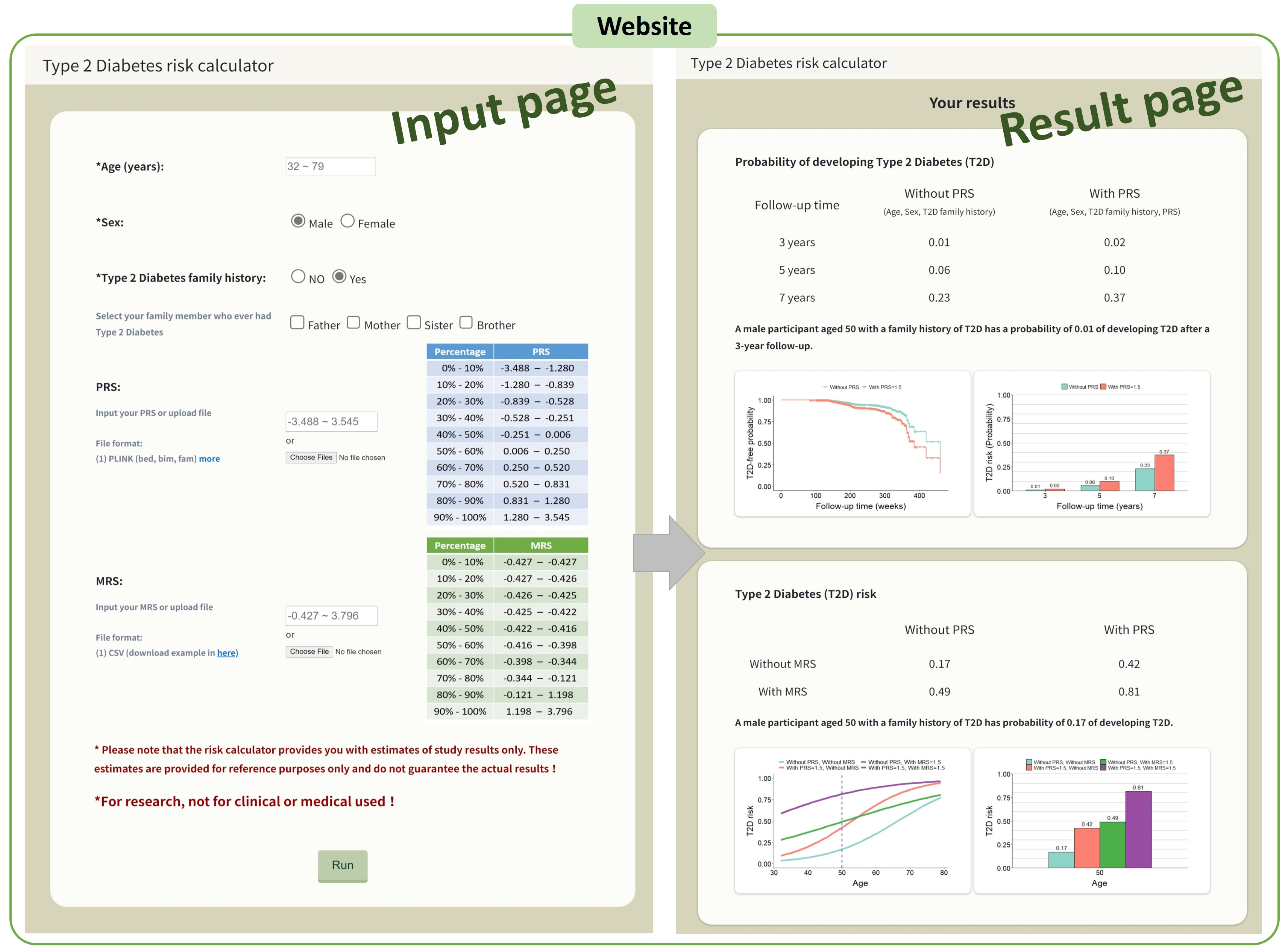
AI-Enhanced Integration of Genetic and Medical Imaging Data for Risk Assessment and Precision Health of Type 2 Diabetes
Technology maturity:Prototype
Exhibiting purpose:Display of scientific results
Trading preferences:Negotiate by self
*Organization
*Name
*Phone
*Main Purpose
*Discuss Further
*Job Category
*Overall Rating
*Favorite Area
*Key Tech Focus
*Willing to Receive Updates?
Other Suggestions
Coming soon!